FORUM RULES UPDATED - The forum rules have been updated to continue to provide a friendly and safe environment for our member community. Please take a moment to review the updated rules and our terms of use and privacy policy. Click here for Forum Rules which has links to the 'terms of use' and 'privacy policy'.
In Other News . . .
You will notice a few enchancements to the forums to make your experience better. These include: Email Notifications, Thread Previews, Thread Starter Notation, and Emoji Options on the 'Like' icon. . .
Additionally, the merchant portions of the website have been updated and are now operational. . . . Check out iBoats for all your boating gear.
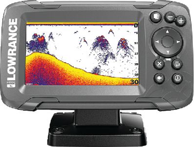
I'm looking to buy a chip with the coastal maps of the northeast for my lowrance. There are navionics, hotmaps, platinum maps, exl gold maps, navusa, who makes the best most detailed for bouys and bottom structure? Thanks for your help.
it may sound strange, but go to the docks, and find a commercial fishing boat with a lowrance gps antenna on it, and ask em what they use. Most of them will be using ray, or furuno, but im sure theres a few with lowrance gear.
I would call lowrance and ask them but your unit should already have all the Buoy data, at least every Lowrance model I have seen has the buoy data in the base map.