Hey guys i need some help.
I'm new to boating and haven't quite bought my first boat yet, still waiting for the right deal. I'm looking at a early 80's Sleekcraft Executive IB/OB.
The boat will be used for cruising, pulling skiers/tubes and camping trips to Lake Powell.
Right now i live in Northern Utah, so this boat will only be used on lakes in and around the state.
I plan on taking this boat to lakes that i've never been to before and want to be comfortable with my navigation on the water when i get there, and not destroy my hull when i try to beach or camp.
With many lakes around Utah, especially Lake Powell, the shores change every year. When cruising and hanging out at the lake, we like to beach the boat (friends boats) and eat lunch or hang out on the beach for a bit. So here is my dilemma. I don't ever plan on using this boat for fishing, but want good navigation on the water and good shore/shallow water imagery would be a great help.
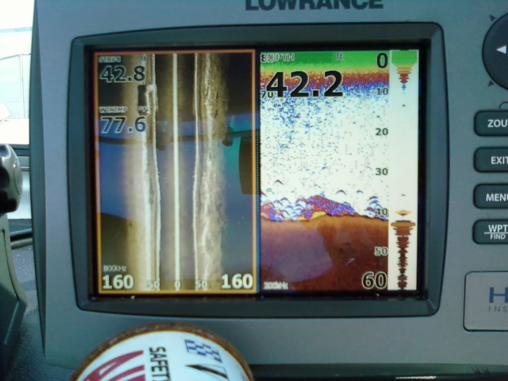
From my research, i've gathered that to get the water imagery, i would need a FF/sounder correct?
Here are the models i've found from my research. Please help me narrow it down, or let me know if there is something i should consider.
Raymarine: A50D, A57D or A70D
Standard Horizon: CPF309i or CPN700i
Lowrance: Lowrance Elite 5 DSI Gold
Garmin: GPSMAP 546S or GPSMAP 720
Hummingbird: 898c SI Combo or 798CI HD
I've noticed that some have 3D/4D imagery which sounds pretty cool, but it seems like with my problem of going to lakes that shore lines frequently change, will defeat a pre programmed map shoreline correct? If this is the case, what would you guys recommend for a GPS/Chartplotter/FF that will give me current detailed shoreline shallow imagery?
Thanks for your help.
Jake
I'm new to boating and haven't quite bought my first boat yet, still waiting for the right deal. I'm looking at a early 80's Sleekcraft Executive IB/OB.
The boat will be used for cruising, pulling skiers/tubes and camping trips to Lake Powell.
Right now i live in Northern Utah, so this boat will only be used on lakes in and around the state.
I plan on taking this boat to lakes that i've never been to before and want to be comfortable with my navigation on the water when i get there, and not destroy my hull when i try to beach or camp.
With many lakes around Utah, especially Lake Powell, the shores change every year. When cruising and hanging out at the lake, we like to beach the boat (friends boats) and eat lunch or hang out on the beach for a bit. So here is my dilemma. I don't ever plan on using this boat for fishing, but want good navigation on the water and good shore/shallow water imagery would be a great help.
From my research, i've gathered that to get the water imagery, i would need a FF/sounder correct?
Here are the models i've found from my research. Please help me narrow it down, or let me know if there is something i should consider.
Raymarine: A50D, A57D or A70D
Standard Horizon: CPF309i or CPN700i
Lowrance: Lowrance Elite 5 DSI Gold
Garmin: GPSMAP 546S or GPSMAP 720
Hummingbird: 898c SI Combo or 798CI HD
I've noticed that some have 3D/4D imagery which sounds pretty cool, but it seems like with my problem of going to lakes that shore lines frequently change, will defeat a pre programmed map shoreline correct? If this is the case, what would you guys recommend for a GPS/Chartplotter/FF that will give me current detailed shoreline shallow imagery?
Thanks for your help.
Jake