Re: Gps
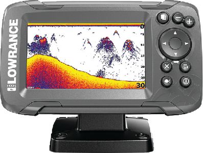
I have a very old Garmin that only has a U.S. highway map. A body of water I fish in Wisconsin has an outline of the the resevoir and rifer systems that feed it. It wouldn't need to be there at all to use for navigation if you marked your waypoints and did track back. First time on this body of water I left a sugar trail down river to the lake. On the way back I told my wife to watch for debris in the river as I was going to use ONLY GPS to navigate the 5.5 miles back up river. Never had to look up. The arrow on the GPS did a hard left when I got 90 degrees to the dock. If you don't use it for naviagation, use it to mark underwater humps, rocks, stumps, ridges, valleys, etc. so you can get back to them.