Launch Ramp contrast

QC

Supreme Mariner
Joined
Mar 22, 2005
Messages
22,783
I used to assume that launch conditions were a little more universal than they are. When I posted a pic of a mega ramp at Lake Mead in a power loading thread, I realized that many of you had never seen ramps that may stretch for close to a half mile. I travel some for work, and if I have extra time I always check out Marinas and launch ramps. This trip I was north of Sacramento CA, and I went over to Lake Oroville, and then cruised along the Feather River. I thought maybe these ramp pics would be of interest. I think the Lake must be over 200 ft down.

Lake Oroville "Spillway Ramp(s)" from the top:

attachment.php


And a couple for scale from the bottom:

attachment.php


attachment.php


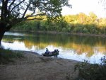
And then for contrast, a little ramp on the Feather:

attachment.php
 

Attachments

  • Oroville ramo from top.jpg
    Oroville ramo from top.jpg
    79.4 KB · Views: 0
  • Oroville ramo from bttom.jpg
    Oroville ramo from bttom.jpg
    82.7 KB · Views: 0
  • Feather ramp.jpg
    Feather ramp.jpg
    78.8 KB · Views: 0
  • Oroville ramo from bttom 2.jpg
    Oroville ramo from bttom 2.jpg
    71 KB · Views: 0

bruceb58

Supreme Mariner
Joined
Mar 5, 2006
Messages
30,530
Re: Launch Ramp contrast

Lake Oroville is an interesting lake. Water levels can fluctuate 10s of feet in a day. It was close to full pool in 2011. It is drained drastically between summer and winter usually, often more that 100 feet.
 

QC

Supreme Mariner
Joined
Mar 22, 2005
Messages
22,783
Re: Launch Ramp contrast

Reminded me a lot of Shasta. There was no fee to enter although there was a box for launch fees. They let you drive right across the dam, and the spillway. Both pretty impressive:

attachment.php


attachment.php
 

Attachments

  • Dam view.jpg
    Dam view.jpg
    72.9 KB · Views: 0
  • spillway.jpg
    spillway.jpg
    118.9 KB · Views: 0

lncoop

Vice Admiral
Joined
Apr 18, 2010
Messages
5,147
Re: Launch Ramp contrast

Wow. That water is so beautiful it looks fake. Azure.
 

QC

Supreme Mariner
Joined
Mar 22, 2005
Messages
22,783
Re: Launch Ramp contrast

The last one is a little enhanced by Microsoft Pics. It was pretty close to that blue though. Very pretty day, very little wind, blue sky, all contributed.
 

lncoop

Vice Admiral
Joined
Apr 18, 2010
Messages
5,147
Re: Launch Ramp contrast

Speaking of ramp contrast; here's some.

IMG_0745.jpg
 

theBrownskull

Chief Petty Officer
Joined
Jun 23, 2012
Messages
625
Re: Launch Ramp contrast

Wow that is a ramp. Nothing like that in MN unless your trying to unload in an old mine pit.
 

roscoe

Supreme Mariner
Joined
Oct 30, 2002
Messages
21,735
Re: Launch Ramp contrast

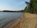
Here is a launch I use, it extends 1/4 miles on each side of the 12' wooden pier.


000 beach.jpg
 

jigngrub

Fleet Admiral
Joined
Mar 19, 2011
Messages
8,155
Re: Launch Ramp contrast

Oh hell yeah!!!... earthquakes and lakes going dry in 1 day, you can have my share of that!

... at least y'all have palm trees and movie stars eh?!!!;)


.............. and the San Andreas fault.....:eek:
 

bruceb58

Supreme Mariner
Joined
Mar 5, 2006
Messages
30,530
Re: Launch Ramp contrast

Oh hell yeah!!!... earthquakes and lakes going dry in 1 day, you can have my share of that!

... at least y'all have palm trees and movie stars eh?!!!;)


.............. and the San Andreas fault.....:eek:
That's ok...we have too many people here already.
 

lncoop

Vice Admiral
Joined
Apr 18, 2010
Messages
5,147
Re: Launch Ramp contrast

Wow that is a ramp. Nothing like that in MN unless your trying to unload in an old mine pit.

That's on the White River. We had a "hundred year flood" blow through there a few years ago. The ramp is not nearly that nice now. Just about impossible to use it any more if you don't have 4WD.
 

Sabbath

Petty Officer 2nd Class
Joined
Feb 27, 2011
Messages
122
Re: Launch Ramp contrast

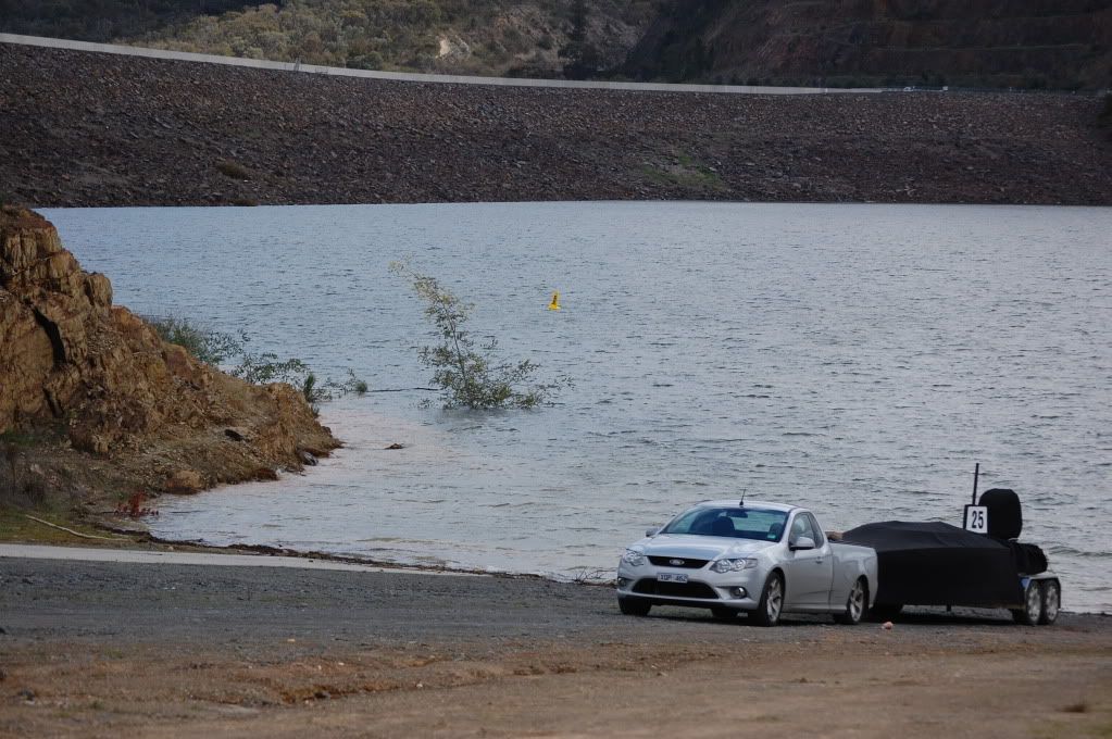
Here's a couple from Oz.

Small ramp going into Lake Tyers at Lakes Entrance with my old boat

317781_10150448204295883_955336665_n.jpg


Lake Eildon. Have had a fair few years of not much rain, so the lake got pretty empty. This pic was from the start of this year. Red line shows where the water level was up to when i was there, as you can see, a secondary ramp had to be built to accomodate for the lower water level.
Eildonwinter2010105.jpg

eildon.jpg


And as it sits today
6253505165_605a193d27_b.jpg
 
Top